

Credit: Tom Sofield/LevittownNow.com
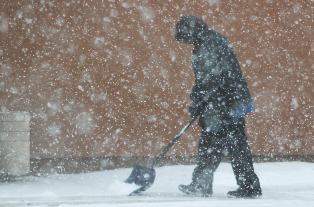
A fresh coating of brine was laid down on area roads Wednesday afternoon in anticipation of a storm expected to bring more than a half a foot of snow to the region.
A snow total prediction map released Wednesday afternoon by the National Weather Service said the Levittown area should expected 6 to 8 inches of snow. Portions of Middletown could see up to 10 inches, according to the map.
Advertisements
Forecasters said the storm will start late Wednesday and continue into Thursday with periods of 1 to 2 inches of snow an hour. Temperatures are expected to be below freezing throughout the storm.
Is My Town Under a Snow Emergency?
Major traffic impacts are expected Thursday.
Advertisements
“Strong winds will be an issue with this event as the storm intensifies along the coast. Gusts up to 50 mph are possible along the coast, with gusts in the 20 to 35 mph range inland from late Wednesday night through most of Thursday. This will cause added stress to power lines and tree limbs covered with heavy snow,” according to a NWS briefing package.
Weather Closings, Delays for the Levittown Area
Advertisements
PhillyWX.com and NWS both report some sleet could mix in with the storm. Ice is a concern in the northern part of Bucks County.
The latest storm comes on the heels of thousands of power outages caused by an ice storm this time last week. PECO crews are still in the area making repairs from that storm.
