

A weather system could bring a mixed bag of precipitation to the Levittown area starting late Monday afternoon.
Forecasters are calling for rain, which could be heavy at times, between Monday evening and Tuesday afternoon. The National Weather Service predicts the storm could bring some sleet, snow and freezing rain to the area overnight.
Advertisements
A snow accumulation potential map notes the most snow the area could see would be less than an inch. However, it is more likely that there will be no accumulation.
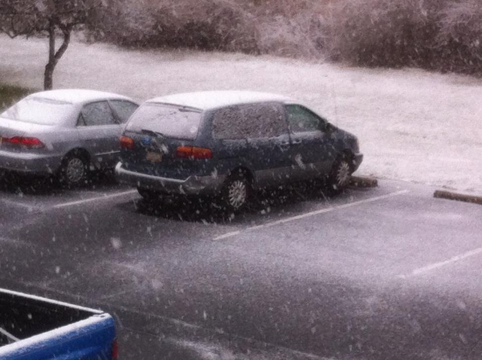
Aside from a short burst of sleet a few weeks back, the area has been devoid of frozen precipitation since last winter. Above normal temperatures have marked December.
Monday: Mostly cloudy, with a high near 42. North wind 10 to 15 mph.
Monday Night: Rain and sleet, becoming all rain after midnight. The rain could be heavy at times. Low around 37. East wind 14 to 18 mph. Chance of precipitation is 100%. New sleet accumulation of less than a half inch possible.
Tuesday: Rain before 7am, then showers, mainly between 7am and 4pm. The rain could be heavy at times. High near 55. East wind 11 to 16 mph becoming northwest 5 to 10 mph in the afternoon. Chance of precipitation is 100%. New precipitation amounts between a quarter and half of an inch possible.
Tuesday Night: Mostly cloudy, with a low around 43. West wind around 6 mph.
Wednesday: A chance of showers after noon. Partly sunny, with a high near 55. Light and variable wind becoming west around 5 mph in the afternoon. Chance of precipitation is 50%. New precipitation amounts between a tenth and quarter of an inch possible.
Wednesday Night: Showers likely. Cloudy, with a low around 44. Chance of precipitation is 60%. New precipitation amounts between a quarter and half of an inch possible.
Thursday: Mostly sunny, with a high near 53.
Thursday Night: Partly cloudy, with a low around 34.