

Credit: Tom Sofield/LevittownNow.com
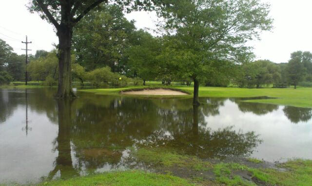
More than 60 commercial and residential properties in Tullytown fall under the proposed 2016 FEMA flood maps.
Borough officials said they will be sending out letters to inform property owners of the proposed maps, which is scheduled to go into effect in April 2016.
Advertisements
At last Tuesday’s council meeting, officials raised concerns over the fact the Borough Hall and community park are set in flood zones on the new maps. Borough Coordinator Alison Smith said the change would mean a “significant” increase in the municipality’s insurance.
The Borough Hall is likely above the flood zone elevation FEMA projects it to be at, according to Smith. That’s why the council approved spending $1,200 with Princeton Engineering to get exact elevation figures to appeal FEMA’s maps.
Smith and other borough officials said residents could do the same.
Advertisements
The proposed maps relate to flooding that could come from the Delaware River and Martins Creek.
The average property owner who falls in a FEMA flood zone pays at least $3,000 in insurance per year, Smith said.