

Credit: Submitted
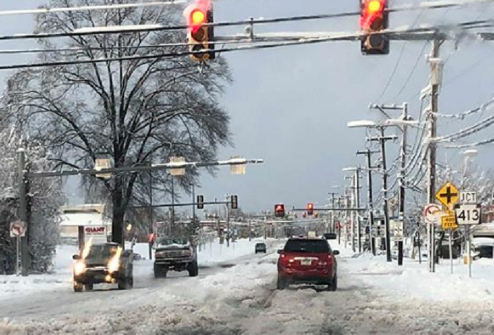
Snow is on the way to the Levittown area.
Brine and salt has been spread on area roadways as a precaution, many schools have closed, and forecasters are fine-tuning their last-minute calls.
Advertisements
As of Tuesday evening, forecasters at the National Weather Service were calling for the area to get 2 to 4 inches of snow that is expected to cause travel impacts for most of Wednesday.
While the storm is expected to begin as snow, a mix of sleet and freezing rain, and then rain will move in toward the afternoon and evening. The rain will continue through Wednesday night and end early Thursday morning, forecasters said.
“As with other storms this season, considerable uncertainty exists in the snowfall forecast owing to critical timings of transitions between snow, ice, and rain,” forecasters said.
Advertisements
Ice accumulation is not predicted to be a major concern for the Levittown area, but it could cause impacts the closer you get to Doylestown.
Strong winds are not forecasted and there is a small chance of flooding.
Advertisements
