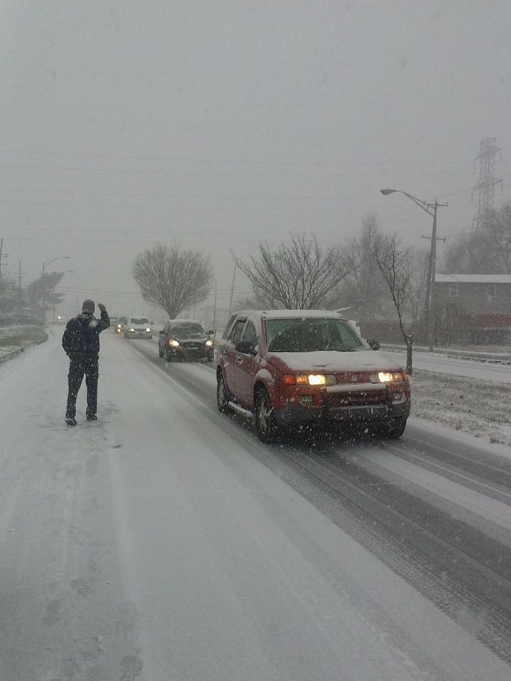
Credit: LevittownNow.com
The public works trucks are stocked with road salt and the plows are hooked up and ready to hit the road.
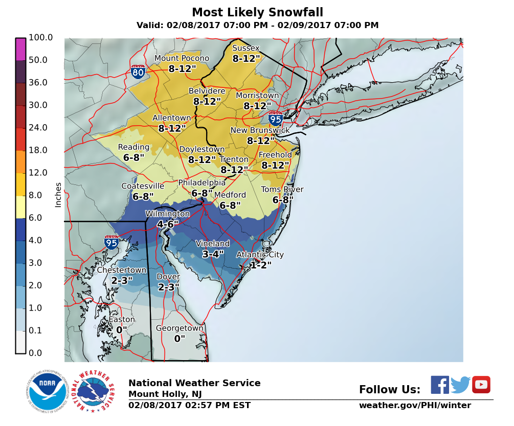
Crews that clear snow from roadways throughout Lower Bucks County spent Wednesday preparing for Thursday’s impending storm that is forecasted to bring between 6 inches to a foot of snow. The storm is predicted to start as rain before changing over to snow.
Advertisements
“There is high confidence in the precipitation occurring, but there remains some uncertainty with the timing for the transition from rain to sleet to snow, and thus snow amounts,” meteorologists at the government forecasting office said.
The heaviest snow is expected to move into Bucks County between 3 a.m. and noon. The snowfall rates could be as high as 2 inches per an hour before tapering off in the early afternoon.
See Which Towns Are Under A Snow Emergency
“The snow should be wet in consistency and therefore will tend to stick to trees and power lines, possibly resulting in some power outages,” forecasters said.
Advertisements
In addition to the snow, there will be northerly winds of 15 to 30 MPH with some stronger gusts.
Bucks County was placed under a Winter Storm Warning in advance of the first flakes.
Advertisements
According to forecasters, snow-related road problems are expected to last into Thursday evening while below-freezing temperatures stick around.
Due to the closure of the Delaware River Bridge that connects the Pennsylvania and New Jersey turnpikes, PennDOT has assigned extra plows to other area highways to make sure they are clear for the added motorists, officials said.
The anticipated storm is predicted to be most impactful of the current winter season.
Advertisements