

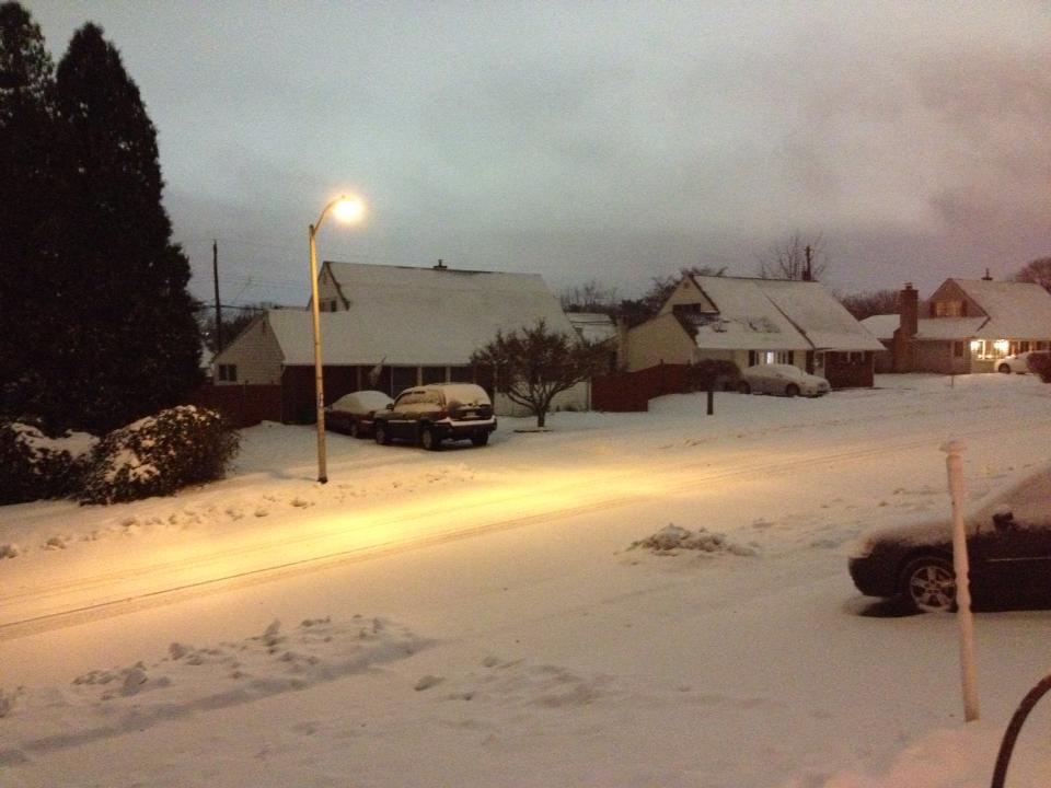
Credit: Stacy Howell
The possibility of a storm this weekend is growing. What type of precipitation will fall and how much remains up in the air.
The National Weather Service office in Mt. Holly, New Jersey put out a message Monday after more and more chatter of the storm began to fill the internet.
Advertisements
Here’s what they confirmed:
- Precipitation is likely across nearly all of the region
- The primary time frame for wintry precipitation is expected to be from late Friday through Saturday night (January 22-23)
- At this point, precipitation type looks to be mostly snow for our region, except for southern Delmarva and coastal southern New Jersey which may see a period of a rain and snow mix.
Forecasting models appear to be consistent on some sort of storm on the way Friday or Saturday. Currently, the storm system is moving toward the United States from the Pacific Ocean.
There is a chance on a light snowfall Wednesday. The National Weather Service is expected to release a prediction for that storm Tuesday.