


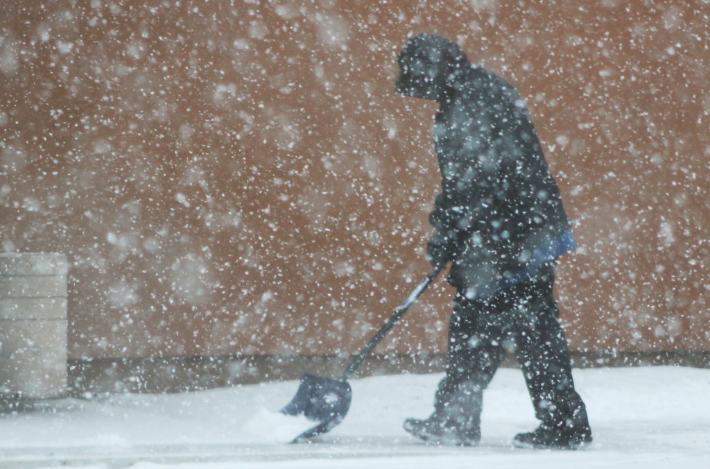
Credit: Tom Sofield/LevittownNow.com
Snow is expected to blanket the region Saturday afternoon and evening.
The Lower Bucks County area is expected to receive 2 to 4 inches of snow. With the cold weather already in the region, roads will quickly become snow covered and travel will be hazardous, warns the National Weather Service.
Advertisements
During the storm, some warmer air will work into the area and the snow could change to rain and sleet for a period of time. Forecasters predict the area could see .01 to .10 if an inch of ice.
Due to the impending storm, the National Weather Service issued a winter weather warning for the area.
Here’s the forecast:
- Saturday: Snow, mainly after 1pm. High near 30. South wind 8 to 10 mph. Chance of precipitation is 100%. Total daytime snow accumulation of 1 to 3 inches possible.
- Saturday Night: Snow, freezing rain, and sleet before 1am, then rain and snow. The snow could be heavy at times. Low around 29. South wind 5 to 11 mph. Chance of precipitation is 100%. New ice accumulation of less than a 0.1 of an inch possible. New snow and sleet accumulation of less than one inch possible.
- Sunday: A chance of rain and snow before 7am, then a slight chance of rain between 7am and 10am. Cloudy, then gradually becoming mostly sunny, with a high near 39. West wind around 7 mph. Chance of precipitation is 30%. Little or no snow accumulation expected.
- Sunday Night: Partly cloudy, with a low around 16. Northwest wind 8 to 13 mph.
- Monday: Mostly sunny, with a high near 19. Northwest wind around 14 mph.
- Monday Night: Mostly clear, with a low around 4.
Advertisements

