


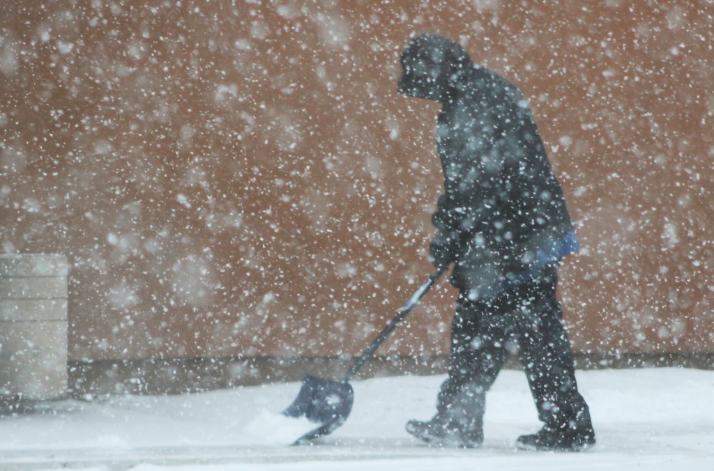
Credit: Tom Sofield/LevittownNow.com
A winter storm expected to bring 8 to 10 inches of snow to the area Sunday and Monday, according to forecasters.
The storm is expected to start Sunday evening with rain and transition to snow. The snow will accumulate between Sunday night and Monday night, according to the National Weather Service.
Advertisements
Following the snow, meteorologist say some of the coldest temperatures of the season are expected.
Forecasters warn the storm will impact both the Monday morning and Monday evening commute. The storm could equal another snow day for local school distirct’s already getting creative to make up previous days off caused by weather.
If predicted snow totals become a reality, the area will have seen upwards of five feet of snow this season.Here’s the forecast from the National Weather Service:
- Sunday: Rain likely, mainly after 4pm. Cloudy, with a high near 42. Calm wind becoming north around 6 mph in the afternoon. Chance of precipitation is 60%. New precipitation amounts of less than a tenth of an inch possible.
- Sunday Night: Rain and snow before 11pm, then snow and sleet between 11pm and 2am, then snow after 2am. Low around 24. North wind 7 to 14 mph. Chance of precipitation is 90%. New snow and sleet accumulation of 3 to 5 inches possible.
- Monday: Snow, mainly before 4pm. High near 24. North wind 11 to 13 mph. Chance of precipitation is 90%. New snow accumulation of 3 to 7 inches possible.
- Monday Night: A slight chance of snow before 8pm. Partly cloudy, with a low around 8. North wind 7 to 11 mph. Chance of precipitation is 20%.

